
Curriculum Roadmap: NGSS-Aligned Field Science Modules
Zero-login digital investigations and turnkey educator resources bridging New England’s freshwater and estuarine ecosystems.
Curriculum Development Pipeline: The modules below outline our long-term “Ridge-to-Reef” instructional architecture. Development and current regional funding are focused entirely on our flagship inaugural release (Module 02: Great Bay Forensic Lab) scheduled for Late 2027. The remaining modules form our multi-year rollout roadmap supported by ongoing partnerships and grant initiatives.
Track 1: Coastal & Estuarine Transect
Five modular investigations spanning the 15-mile gradient from sheltered tidal rivers out to the open Gulf of Maine.
Students track multi-year salt marsh retreat using aerial orthomosaic time sliders, calculating volumetric peat collapse and evaluating wave shear stress along undercut banks.
Students trace stormwater culverts and agricultural runoff into tidal tributaries, correlating visible sediment plumes with boat-collected dissolved oxygen and clarity deficits to identify hypoxic stress.
Students analyze vertical depth profiles of salinity and temperature across tidal cycles, mapping the dense, cold saltwater wedge pushing beneath buoyant river outflow.
Contrasting rocky open coasts with protected bay flats, students evaluate how mechanical wave energy dictates intertidal sediment transport and substrate sorting.
Students examine aerial time series of restored oyster reefs and marsh sills to quantify biological filtration capacity and evaluate living shorelines against erosion.
Track 2: Inland & Freshwater Headwaters
Expanding the curriculum upstream to address river geomorphology, lake dynamics, and municipal watershed stewardship across New England.
Using digital measuring tools on aerial river surveys, students calculate curve radii, map cut bank erosion against point-bar deposition, and model downstream sediment transport.
Students compare water temperature, dissolved oxygen, and sediment accumulation above legacy mill impoundments versus downstream riffles to evaluate fish passage trade-offs.
Students trace aerial surface scums back to shorefront lawn development and missing riparian buffers, correlating bloom severity with localized water chemistry spikes.
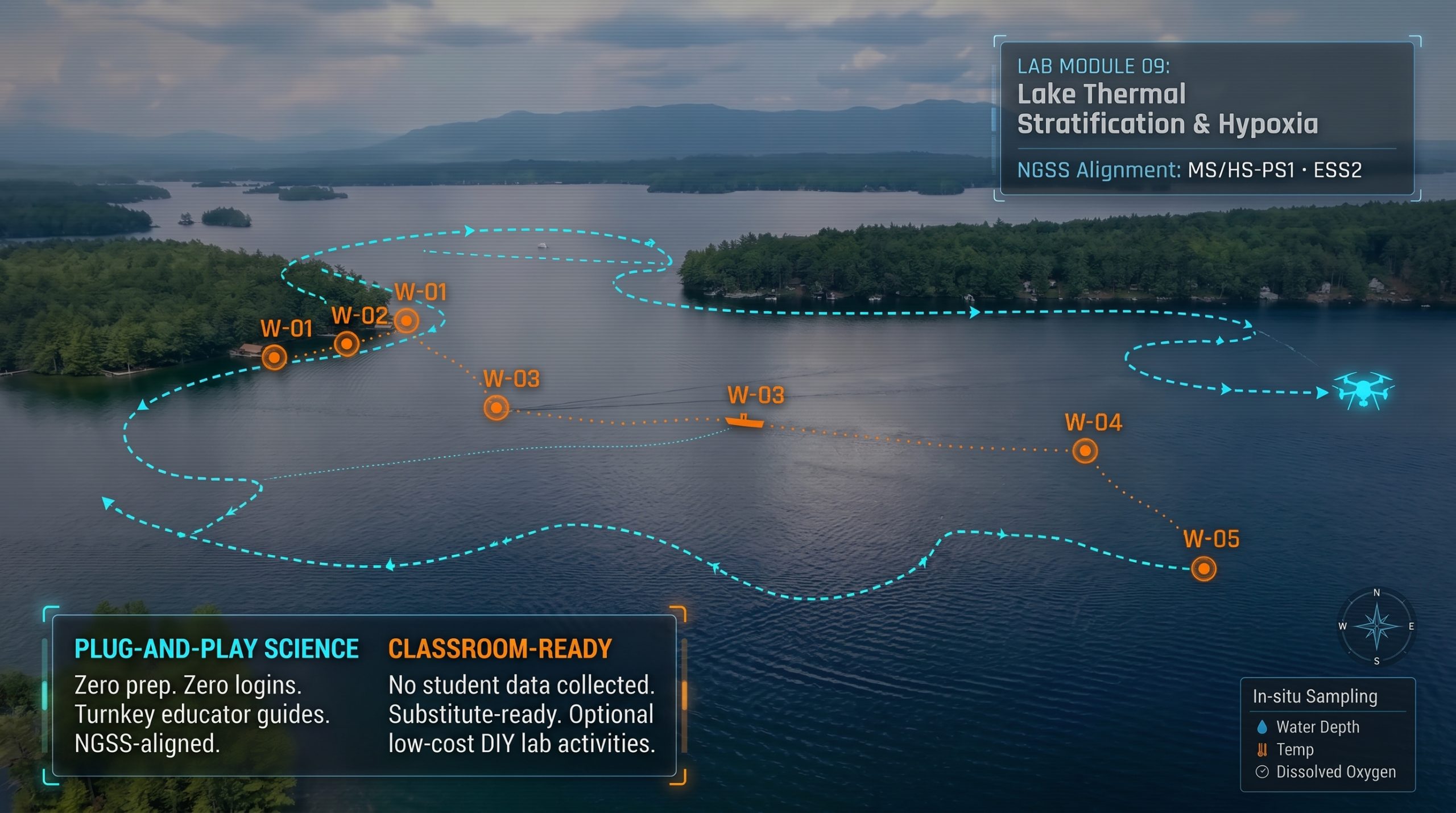
Students graph in-situ temperature and oxygen depth profiles to identify the thermocline, modeling late-summer cold-water fish habitat compression in isolated bottom layers.
Comparing continuous aerial transects of forested reserves against commercial waterfronts, students calculate canopy percentage and correlate shade loss with thermal stress in aquatic ecosystems.