235 Miles of Shoreline. A Critical Data Gap.
New Hampshire’s tidal estuaries are the ecological engines of the Seacoast. HMS is building the first comprehensive, real-time data network for the Piscataqua River and the four critical tidal veins that feed Great Bay: the Bellamy, Cocheco, Oyster, and Lamprey.
The Piscataqua: The Seacoast’s “Primary Artery”
More than a river, the Piscataqua is a powerful, deep-water tidal artery that forms the border between New Hampshire and Maine. It is the core “Engine” that drives the entire Great Bay ecosystem.
- Tidal Force: Every single tide, massive volumes of cold, saline Atlantic water are pushed up the Piscataqua, into Great Bay, and deep into the four tidal rivers.
- Operational Scale: Due to its depth, width, and intense current, the Piscataqua requires different monitoring strategies than the “Skinny Waters” of the other rivers.
- The HMS Project: HMS is establishing long-term, deep-water monitoring of the Piscataqua (upstream of Great Bay). This data provides the essential baseline for the entire region, allowing us to understand the “background” Atlantic water quality before it mixes with our local rivers.
The “Skinny Water” Challenge
While the Piscataqua is the main artery, the overall health of the Seacoast is determined in the sensitive, unmonitored “mixing zones”—the “Skinny Waters”—where our four local rivers meet the Bay.
The Bellamy River
Monitoring nutrient runoff and salt marsh health.
The Cocheco River
Tracking urban runoff impacts from Dover.
The Oyster River
A critical benchmark near UNH’s academic research.
The Lamprey River
One of the main freshwater volume drivers of the Bay.
Our Mobile Sampling Unit (MSU), deployed via the shallow-draft Whaly 380, blanket these critical, often ignored tidal veins. By comparing this “Skinny Water” data against our Piscataqua “Artery” baseline, HMS creates a complete, real-time pulse of Great Bay.
Empowering the Community: Citizen Scientist Monitoring
A Force Multiplier for Data
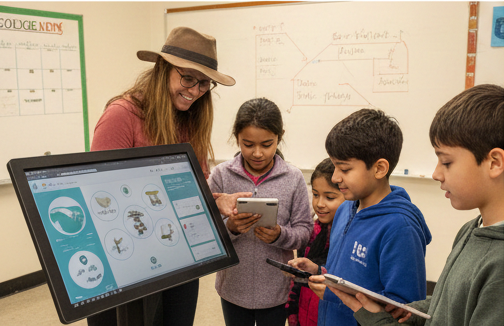
HMS knows that the best data comes from local eyes and local hands. While our MSU handles the continuous, high-tech monitoring, we are actively creating the foundational educational content for a powerful network of Citizen Scientists.
Your Contribution Matters
We are designing training modules that will empower residents, boaters, and students to:
- Validate MSU Data: Provide essential “on-site” confirmation of MSU readings.
- Identify Data Spikes: Spot localized pollution events or unusual bloom activity.
- Expand Our Reach: Log sampling data from areas our MSU haven’t reached yet.
Our upcoming “HMS Academy” will provide the curriculum and certification needed to turn local passion into verifiable scientific contribution, ensuring the whole community has a seat on the boat.
Why It Matters to You
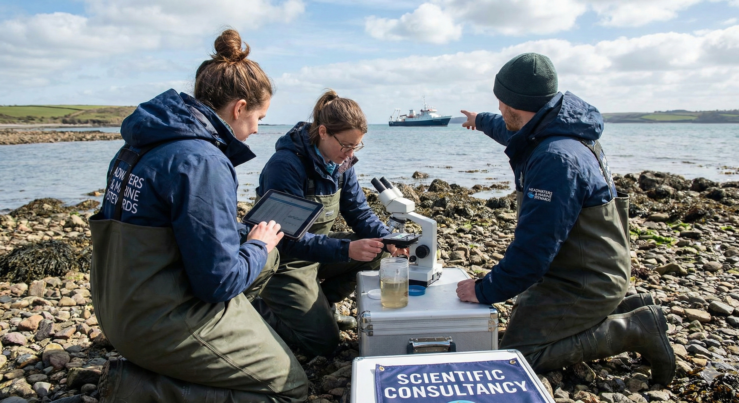
For Boaters & Anglers
Understanding water quality helps preserve the fisheries we love.
For Residents
Healthy rivers mean resilient shorelines and protected property values.
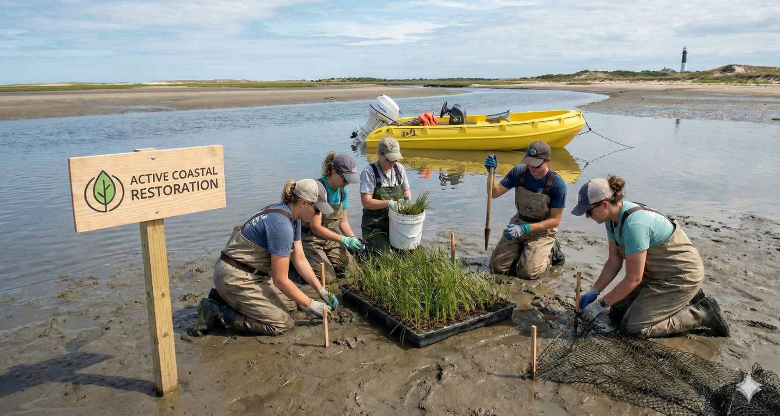
For Businesses
A clean Seacoast is the engine of our local economy.